Summer Activities
 Show Low, the
commercial and tourism hub of the White Mountains, was established in 1870 and
incorporated in 1953. Located in southern Navajo County at an elevation of 6,350 feet, the city is 175
miles northeast of Phoenix and 195 miles north of Tucson. Show Low received its
name when C.E. Cooley and Marion Clark decided there was not enough room for
both of them in their settlement. The two men agreed to let a game of cards
decide who was to move. According to the story, Clark said, "If you can show
low, you win." Cooley turned up the deuce of clubs and replied, "Show low it
is." Show Low, the
commercial and tourism hub of the White Mountains, was established in 1870 and
incorporated in 1953. Located in southern Navajo County at an elevation of 6,350 feet, the city is 175
miles northeast of Phoenix and 195 miles north of Tucson. Show Low received its
name when C.E. Cooley and Marion Clark decided there was not enough room for
both of them in their settlement. The two men agreed to let a game of cards
decide who was to move. According to the story, Clark said, "If you can show
low, you win." Cooley turned up the deuce of clubs and replied, "Show low it
is."
Scenic Attractions
 Show Low
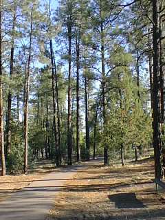
offers many year-round recreational opportunities and points of scenic
interest. The Apache Sitgreaves
National Forest, with 58
campgrounds,
trails, and pristine
lakes, surrounds the city. Show Low
offers many year-round recreational opportunities and points of scenic
interest. The Apache Sitgreaves
National Forest, with 58
campgrounds,
trails, and pristine
lakes, surrounds the city.
The scenic White Mountain and Mogollon Rim areas are also nearby for
campers and fishermen. Arizona's
only covered bridge is located in Pinedale, 15 miles west of Show Low. Apache,
Navajo, Hopi, and Zuni Indian Reservations are nearby. The city has a new
indoor aquatic center, five 18-hole golf courses within 20 miles, and numerous
motel and RV accommodations. & a NEW Disc Golf Course in the Show Low City
Park.
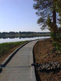
Boating and fishing are popular in many lakes and streams in the
area, including Rainbow Lake, Show Low Lake, White Mountain Lake, and Fools
Hollow Lake Recreation Area. Snow skiing is available at Sunrise Park Resort on
the White Mountain Apache Indian Reservation with eight lifts, one T-bar, and
three Mighty-Mites tows serving 65 runs.
This page prepared from Arizona Department of Commerce profile on
the City of Show Low dated June 1999 and published with the permission of White
Mountain Regional Development Corporation who provided the update information
to White Mountians Online for publication on our website.
|


